Geoprocessing
Contact us
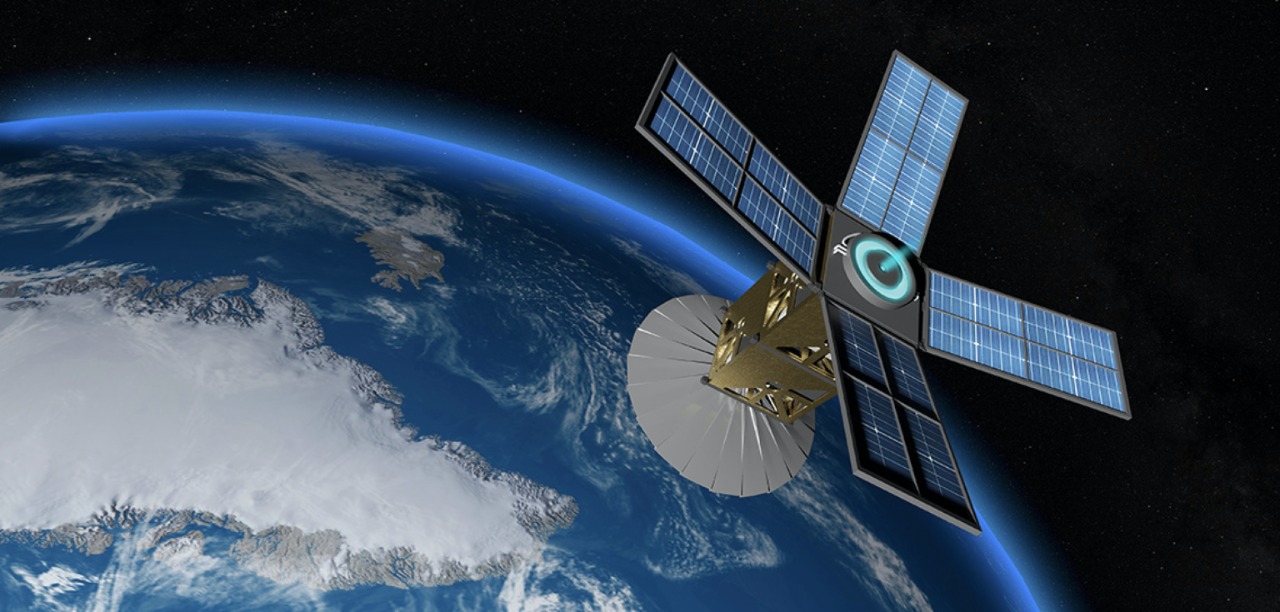
Geoprocessing is a procedure that uses a georeferenced cartographic base to create maps, maps and plans, essential in making decisions for environmental projects. We use geoprocessing as an allied tool in the environmental licensing process, considering the ease of carrying out an accurate diagnosis of the geographical characteristics of the study area in order to facilitate planning and reduce costs for the entrepreneur.
Learn more
The Rural Environmental Registry – CAR was created with the aim of registering the Permanent Preservation Areas and other zoning with the function of preserving the environment and even compensating degraded areas. It is through registration in the Rural Environmental Registration System – SISCAR (environmental data management system), that the government has been managing land use and occupation, as well as territorial environmental planning.
Registration is the responsibility of the owner, which is mandatory for all rural properties and failure to do so will result in loss of credits and financing.
Our differential
We have a qualified team to assist in making the registration quickly and efficiently from start to finish.
The Georeferenced Survey consists of locating and identifying landscapes or entities existing on the Earth’s surface, using known geographical coordinates.
We use the following methodologies, which are chosen based on the purpose of the survey: Planimetric (horizontal – X and Y), Altimetric (vertical – Z) and Planialtimetric (horizontal and vertical – X, Y and Z) and aim to assist in decision-making.
Our differential
We have a qualified team and high technology equipment and software to make the best choice of methodology to be used, as well as meet the demand for georeferencing with the integration of data for making maps in a GIS environment.
The design of these studies is carried out by means of visual interpretation or image processing, presenting their forms of use and occupation through a mapping that allows a classification of the vegetation present and the activities carried out on the site.
Our differential
We have a qualified team and high-tech equipment and software to carry out land use and occupation studies.
Contact us for more information.


