Maps: a tool for environmental conservation
Maps are a mode of communication adopted from prehistoric times to the present days. Stem from, it’s possible to verify the humanity need to describe, understand and situate itself on site. The oldest map drawn u pis dated around 6.200 B.C., which was the blueprint of Çatal-Hüyük, being possible to observe a Neolithic core with a mountain in the background (FIALHO, D. M, 2010). This practice of describing a place by means of drawings led to the emergence of a branch within geography: cartography, which aims to gather/elaborate techniques and methods for assembling maps.
Cartographic representation is used for different types of map classification, such as, Political Maps, which present the territorial boundaries of countries, regions, states and/or municipalities; Physical Maps, which provide the characteristics such as: relief, geology, altimetry, soils of a certain region; Demographic maps, which show the distribution of the population in a given region and many other uses.
With technological advancement, maps started to show millimeter accuracy, both for the creation and evolution of design software, as well as for the development of more sophisticated data collection technologies, such as satellite images and Unmanned Aerial Vehicles, UAVs, also known as drones.
All of this converges for greater precision, in engineering projects, agricultural systems, land control or physical characterizations of the terrestrial globe, which leads to the possibility of more in-depth and assertive analyzes, such as precision agriculture, or even the facilitation of everyday tasks, like navigation apps for the general public (like Google Maps).
Within the Environmental Licensing, the elaboration of maps is essential for the analysis of the environmental aspects resulting from the implementation of a project, as they facilitate the spatial location of the elements and their correlation with the regional environment. In addition to the analytical aspect, maps are a powerful visual tool for representing phenomena, which helps to add clarity to the licensing processes.
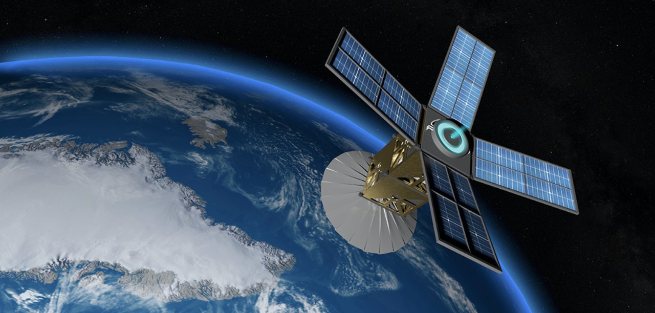
In addition, the current image quality and update speed of the Global Navigation Satellite System (GNSS – acronym for Global Navigation Satellite System), among other uses, allow an easy monitoring of the environmental situation of large areas, without the need of staff movement. In Brazil, an example of this is the National Institute for Space Research, which, among other services, has the Environmental Monitoring Program for Brazilian Biomes, PMABB, which, through satellite data processing (geoprocessing), aims, according to Ordinance 365/2015, map and monitor the vegetation of all Brazilian biomes in situations such as deforestation, burning and restoration of vegetation, as well as assessing the situation of vegetation cover and the use of Brazilian land.
Ítalo Seilhe Reis
Geography Student
Natália Ferrazza
Civil Engineer
MBA in Environmental Management